Horton Plains
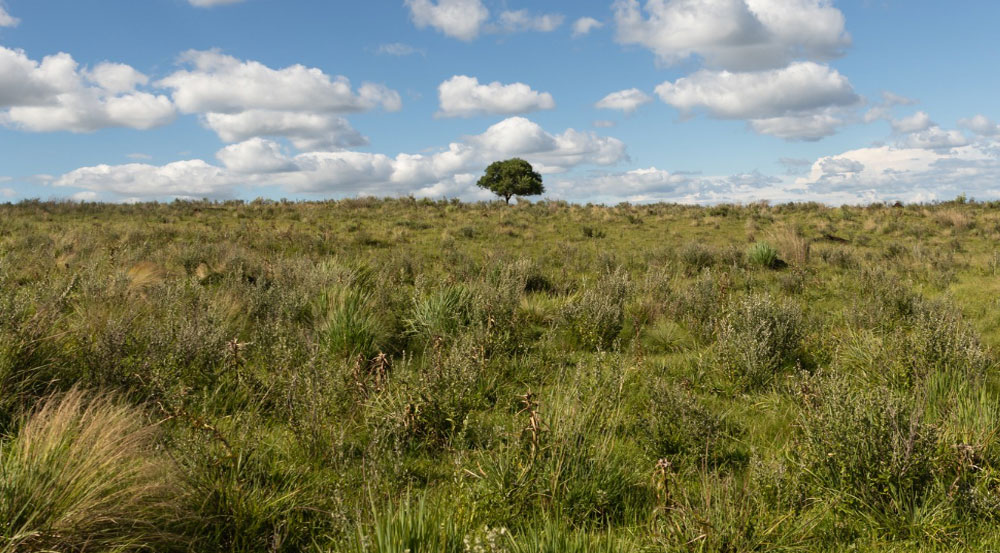
Originally known as “Mahaeliya”, in around the mid-19th Century, Horton Plains was renamed after the British governor Sir Robert Horton. Horton Plains National Park forms an undulating plateau more than 2000 meters high. This park consists of open grasslands interpenetrated with patches of umbrella-shaped montane forest patches. Slopes of Horton Plains national park comprises of the most extensive breathtaking montane cloud forests surviving in Sri Lanka. Sri Lanka’s second and third highest mountains namely, mount Kirigalpotta (2395m) and Totupolakanda (2359m) are visible at the edge of the plateau adding a picturesque backdrop to the park.
Climate of Horton Plains National Park is like in Europe. It could change at any time from fog, to rains and clouds.
But the most famous and stunning feature of the park is the World’s End, where the plateau comes to a sudden end, and drops straight down for 880 meters. The scenic plains of the park are excellent walking grounds for visitors. Scenic view is often obscured by mist, particularly during the rainy season from April to September, which is a part of visitor experience of the park. Park is one of the prime locations to observe large number of Sambur (Cervus unicolor). Due to the abundance of extensive grasslands for feeding and adjoining forest patches for protection provide ideal conditions for Sambur population to thrive here at the park.


 English
 French


